
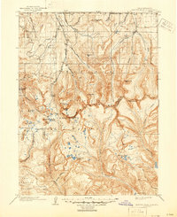
1903 Map of Hayden Peak
USGS Topo · Published 1903About this map
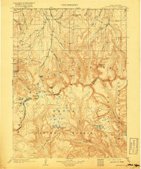
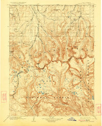
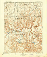
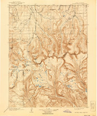
The Uinta Forest Reserve and the northern reaches of the Uinta Indian Reservation dominate this high-altitude landscape as it was documented at the dawn of the 1900s. The survey captures the headwaters of several major Western river systems, where the Bear River flows north toward the Utah-Wyoming Boundary Line while the Duchesne River and Rock Creek drain the southern slopes. Notable peaks including Hayden Peak, Mt. Agassiz, and Mt. Lovenia define the central ridge, serving as a natural divide between the northern forests and the reservation lands. The drainage patterns are intricate, showing numerous high-mountain water bodies such as Grandaddy Lake, Washington Lake, and Brown Duck Lake. This map provides a detailed view of the complex topography before modern infrastructure, when the region was primarily defined by these federal administrative boundaries and the natural water-shedding features of the high peaks.
Find a feature on this map
36 named features on this map. Tap any name to fly to it.
Don’t see what you’re looking for? This feature index may not catch every label — zoom into the map to look around manually.
Map Details
Editions of this 1903 Hayden Peak Map
6 editions found
Other maps of this area

1885 · Salt Lake
USGS Topo · 1:250,000

1885 · Uinta
USGS Topo · 1:250,000

1900 · Coalville
USGS Topo · 1:125,000

1901 · Hayden Peak
USGS Topo · 1:125,000

1903 · Coalville
USGS Topo · 1:125,000

1905 · Gilbert Peak
USGS Topo · 1:125,000

1906 · Gilbert Peak
USGS Topo · 1:125,000

1907 · Strawberry Valley
USGS Topo · 1:125,000

1909 · Strawberry Valley
USGS Topo · 1:125,000

1939 · Duchesne
USGS Topo · 1:125,000
Featured Places
- Christmas Meadow Summer Homes, UT
- Moon Lake Lodge, UT
- Summit County, UT
- Wasatch County, UT
- Duchesne County, UT