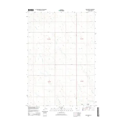
2015 Map of Hayes North
USGS Topo · Published 2015About this map
Hayes anchors the southern boundary of this landscape in central South Dakota, situated at a vital junction of rural transit routes. The area is defined by the drainage patterns of Wagonhound Cr and Frozen Man Cr, which carve through the high plains terrain. This 2015 survey illustrates the modern configuration of the local infrastructure, featuring the Hayes Emergency Airstrip located just north of the settlement. The map provides a detailed view of the sectional grid system, with major thoroughfares like Hayes Rd and 202nd St providing access across the expansive ranching and agricultural lands of Stanley County. The proximity of these watercourses and the specialized airstrip highlight the logistical challenges and solutions of this sparsely populated prairie region.
Find a feature on this map
12 named features on this map. Tap any name to fly to it.
Don’t see what you’re looking for? This feature index may not catch every label — zoom into the map to look around manually.
Map Details
Editions of this 2015 Hayes North Map
This is the sole edition of this map. No revisions or reprints were ever made.
Other maps of this area

1954 · Pierre
USGS Topo · 1:250,000

1958 · Pierre
USGS Topo · 1:250,000

1980 · Princes Ranch
USGS Topo · 1:25,000

1982 · Sansarc
USGS Topo · 1:24,000

1982 · Hayes South
USGS Topo · 1:24,000

1982 · Whiteman Ranch
USGS Topo · 1:24,000

1982 · Hohrman Ranch
USGS Topo · 1:24,000

1982 · May Ranch
USGS Topo · 1:24,000

1983 · Bentley Ranch
USGS Topo · 1:24,000

1983 · Hayes North
USGS Topo · 1:24,000