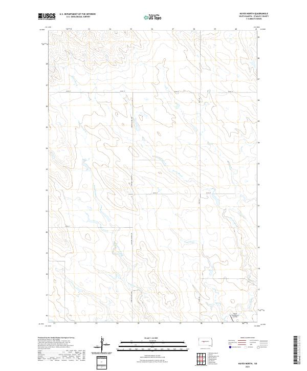
2021 Map of Hayes North
USGS Topo · Published 2021About this map
The remote plains of t5n r26e and surrounding townships are defined by a network of drainage basins and isolated infrastructure in Stanley County. The ephemeral flows of Wagonhound Creek and Frozen Man Cr wind through the landscape, dictating the placement of rural section lines and local roads like N Brown Church Rd and Hayes Rd. A notable aviation landmark, the Hayes Emergency Airstrip, sits in the southeast corner of the map, serving as a critical navigation point for pilots navigating the expansive South Dakota interior. This survey illustrates the persistent agricultural and ranching grid that organizes the territory, where section corners and sparse gravel routes represent the primary human imprint on the terrain.
Find a feature on this map
13 named features on this map. Tap any name to fly to it.
Don’t see what you’re looking for? This feature index may not catch every label — zoom into the map to look around manually.
Map Details
Editions of this 2021 Hayes North Map
This is the sole edition of this map. No revisions or reprints were ever made.
Other maps of this area

1954 · Pierre
USGS Topo · 1:250,000

1958 · Pierre
USGS Topo · 1:250,000

1980 · Princes Ranch
USGS Topo · 1:25,000

1982 · Sansarc
USGS Topo · 1:24,000

1982 · Hayes South
USGS Topo · 1:24,000

1982 · Whiteman Ranch
USGS Topo · 1:24,000

1982 · Hohrman Ranch
USGS Topo · 1:24,000

1982 · May Ranch
USGS Topo · 1:24,000

1983 · Bentley Ranch
USGS Topo · 1:24,000

1983 · Hayes North
USGS Topo · 1:24,000