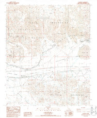
1987 Map of Hayfield
USGS Topo · Published 1987About this map
The Colorado River Aqueduct carves a critical path through this arid landscape, flanked by the Eagle Mountains to the north and the Orocopia Mountains to the south. This 1987 survey documents a region defined by massive infrastructure and protected wilderness, where the Julian Hinds Pumping Plant and nearby Substation support the movement of water toward the coast. The settlement of Chiriaco Summit serves as a lone outpost along the highway, complete with the Chiriaco Summit Airport and proximity to Shavers Valley. Much of the northern terrain is preserved within the Joshua Tree National Monument, featuring landmarks like Careys Castle and the Joshua Tree Wilderness. To the east, Hayfield Lake sits within the Chuckwalla Valley, providing a stark contrast to the surrounding ridges and the network of pipelines and power lines that traverse the desert floor.
Find a feature on this map
28 named features on this map. Tap any name to fly to it.
Don’t see what you’re looking for? This feature index may not catch every label — zoom into the map to look around manually.
Map Details
Editions of this 1987 Hayfield Map
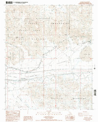
2 editions found
Other maps of this area

1940 · Cottonwood Spring
USGS Topo · 1:62,500

1940 · Canyon Spring
USGS Topo · 1:62,500

1943 · Canyon Spring
USGS Topo · 1:62,500

1943 · Pinkham Well
USGS Topo · 1:62,500

1944 · Cottonwood Spring
USGS Topo · 1:62,500

1944 · Pinkham Well
USGS Topo · 1:62,500

1944 · Eagle Tank
USGS Topo · 1:62,500

1954 · Salton Sea
USGS Topo · 1:250,000

1955 · Salton Sea
USGS Topo · 1:250,000
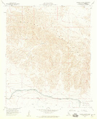
1958 · Orocopia Canyon
USGS Topo · 1:24,000