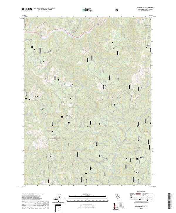
2023 Map of Hayfork Bally
USGS Topo · Published 2023About this map
Trinity River flows through the northern reaches of this Trinity County terrain, carving a path between the Salmon Mountains and Manzanita Ridge. The landscape is dominated by the steep slopes leading to the prominent peak of Hayfork Bally, a significant high point within the Trinity National Forest. Small settlements like Big Bar and Junction City occupy the river corridor, while more remote sites such as Rose Ranch and Barker hint at the area's rural land-use history and ranching roots.
Find a feature on this map
41 named features on this map. Tap any name to fly to it.
Don’t see what you’re looking for? This feature index may not catch every label — zoom into the map to look around manually.
Map Details
Editions of this 2023 Hayfork Bally Map
This is the sole edition of this map. No revisions or reprints were ever made.
Other maps of this area

1909 · Big Bar
USGS Topo · 1:96,000

1915 · Big Bar and Vicinity
USGS Topo · 1:250,000

1951 · Hayfork
USGS Topo · 1:62,500

1951 · Helena
USGS Topo · 1:62,500

1951 · Hyampom
USGS Topo · 1:62,500

1951 · Ironside Mountain
USGS Topo · 1:62,500

1958 · Redding
USGS Topo · 1:250,000

1982 · Helena
USGS Topo · 1:24,000
1982 · Big Bar
USGS Topo · 1:24,000
1982 · Hayfork Bally
USGS Topo · 1:24,000