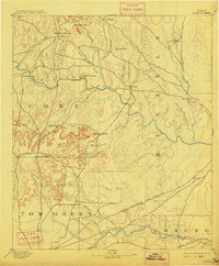
1894 Map of Hayrick
USGS Topo · Published 1915About this map
Hayrick and the surrounding west Texas ranching country appear here during a transitional era of settlement along the Colorado River and Concho River. Surveyed in the 1890s, the map illustrates a landscape defined by isolated homesteads like Harris Ranch and early social hubs including the Rock Spring School House and Hutchins School House. The topographical prominence of the region is marked by distinctive landmarks such as Margaret Peak, Hayrick Mountain, and the ominously named Devils Courthouse Peak. While much of the terrain is a network of seasonal drainages like Mule Creek and Kickapoo Cr., the arrival of the Gulf Colorado and Santa Fe railroad near Rowena signals the shift toward modern transit. Small outposts like Maverick and Vale anchor the rural survey, providing vital reference points for genealogists tracing late 19th-century families in Coke and Runnels counties.
Find a feature on this map
43 named features on this map. Tap any name to fly to it.
Don’t see what you’re looking for? This feature index may not catch every label — zoom into the map to look around manually.
Map Details
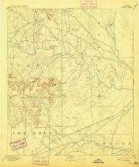
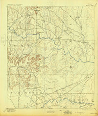
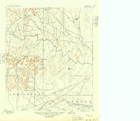
Editions of this 1894 Hayrick Map
5 editions found
Other maps of this area

1890 · Abilene
USGS Topo · 1:125,000

1891 · Hayrick
USGS Topo · 1:125,000

1892 · San Angelo
USGS Topo · 1:125,000

1892 · Eden
USGS Topo · 1:125,000

1892 · Abilene
USGS Topo · 1:125,000

1892 · Ballinger
USGS Topo · 1:125,000

1893 · Sweetwater
USGS Topo · 1:125,000

1894 · Hayrick
USGS Topo · 1:125,000

1895 · Sherwood
USGS Topo · 1:125,000

1896 · Eden
USGS Topo · 1:125,000