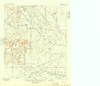
1894 Map of Hayrick
USGS Topo · Published 1949About this map
Hayrick and the surrounding Concho Valley landscape are captured here just before the turn of the century, showing a region where the frontier was yielding to organized ranching and early rail commerce. The Colorado River winds through the center of the sheet, joined by a dense network of tributaries including Kickapoo Creek and Oak Creek. This era reveals a transition in county governance; while Hayrick is prominent at the foot of Hayrick Mountain, the emergence of rail-aligned towns like Miles and Rowena along the Gulf Colorado and Santa Fe railroad indicates the shifting economic centers of West Texas.
Find a feature on this map
42 named features on this map. Tap any name to fly to it.
Don’t see what you’re looking for? This feature index may not catch every label — zoom into the map to look around manually.
Map Details
Editions of this 1894 Hayrick Map
5 editions found
Other maps of this area

1890 · Abilene
USGS Topo · 1:125,000

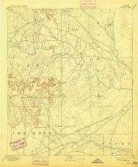
1891 · Hayrick
USGS Topo · 1:125,000

1892 · San Angelo
USGS Topo · 1:125,000

1892 · Eden
USGS Topo · 1:125,000

1892 · Abilene
USGS Topo · 1:125,000

1892 · Ballinger
USGS Topo · 1:125,000

1893 · Sweetwater
USGS Topo · 1:125,000

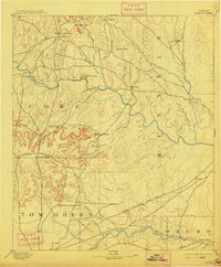
1894 · Hayrick
USGS Topo · 1:125,000

1895 · Sherwood
USGS Topo · 1:125,000

1896 · Eden
USGS Topo · 1:125,000