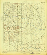
1894 Map of Hayrick
USGS Topo · Published 1925About this map
Hayrick and the high peaks of the Coke and Runnels county line define this late 19th-century landscape of the Concho Valley. Surveyed by H.S. Wallace in 1890, the map illustrates a transition from the elevated terrain of Hayrick Mountain and Margaret Peak down to the fertile river bottoms. Settlement patterns are tied closely to water and transport, with the Gulf Colorado and Santa Fe railroad corridor facilitating the growth of Miles and Rowena in the south.
Find a feature on this map
41 named features on this map. Tap any name to fly to it.
Don’t see what you’re looking for? This feature index may not catch every label — zoom into the map to look around manually.
Map Details
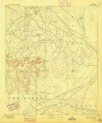
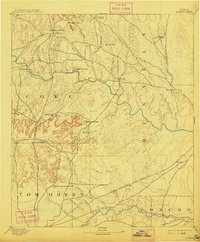
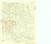
Editions of this 1894 Hayrick Map
5 editions found
Other maps of this area

1890 · Abilene
USGS Topo · 1:125,000

1891 · Hayrick
USGS Topo · 1:125,000

1892 · San Angelo
USGS Topo · 1:125,000

1892 · Eden
USGS Topo · 1:125,000

1892 · Abilene
USGS Topo · 1:125,000

1892 · Ballinger
USGS Topo · 1:125,000

1893 · Sweetwater
USGS Topo · 1:125,000

1894 · Hayrick
USGS Topo · 1:125,000

1895 · Sherwood
USGS Topo · 1:125,000

1896 · Eden
USGS Topo · 1:125,000