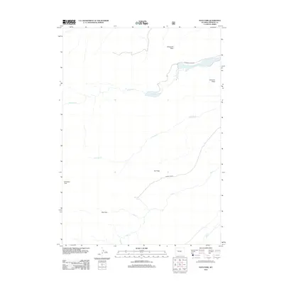
2012 Map of Hays Park
USGS Topo · Published 2012About this map
Hays Park lies at the heart of this high-elevation landscape in Fremont County, defined by a network of drainage basins and prominent alpine ridges. The area is dominated by the glacial geography of Dinwoody Cr, which feeds into Mud Lake and the elongated Upper Dinwoody Lake. These water bodies are flanked by massive topographical features including Sacagawea Ridge to the north and Dinwoody Ridge to the east. Transportation into this remote terrain is limited to primitive routes like W Dinwoody Lake Rd and Gannett Peak Rd, reflecting the area's role as a gateway to the high peaks. Notable landmarks such as Dinwoody Peak and Cold Springs provide fixed points for navigation across the watershed of Little Dry Cr and Relic Cr.
Find a feature on this map
17 named features on this map. Tap any name to fly to it.
Don’t see what you’re looking for? This feature index may not catch every label — zoom into the map to look around manually.
Map Details
Editions of this 2012 Hays Park Map
This is the sole edition of this map. No revisions or reprints were ever made.
Other maps of this area

1909 · Fremont Peak
USGS Topo · 1:125,000

1952 · Wilderness
USGS Topo · 1:24,000

1952 · Hays Park
USGS Topo · 1:24,000

1952 · Bob Lakes
USGS Topo · 1:24,000

1952 · Blue Holes
USGS Topo · 1:24,000

1952 · Burris
USGS Topo · 1:24,000

1952 · Kirkland Park
USGS Topo · 1:24,000

1955 · Thermopolis
USGS Topo · 1:250,000

1958 · Thermopolis
USGS Topo · 1:250,000

1962 · Thermopolis
USGS Topo · 1:250,000