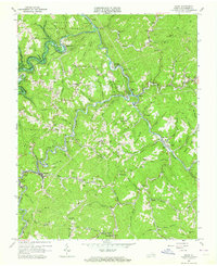
1963 Map of Haysi
USGS Topo · Published 1964About this map
Clinchfield railroad tracks follow the winding course of the Russell Fork through this Dickenson County coal-mining landscape, where the John W Flannagan Reservoir was beginning to alter the terrain in the early 1960s. The map reveals a dense network of mountain settlements and industrial sites, from the mining operations at Steinman and Clinchco to the timber-era legacy of Splashdam.
Find a feature on this map
90 named features on this map. Tap any name to fly to it.
Don’t see what you’re looking for? This feature index may not catch every label — zoom into the map to look around manually.
Map Details
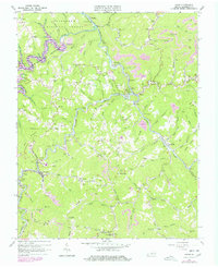
Editions of this 1963 Haysi Map
2 editions found
Other maps of this area

1886 · Grundy
USGS Topo · 1:125,000

1890 · Grundy
USGS Topo · 1:125,000

1892 · Grundy
USGS Topo · 1:125,000

1913 · Clintwood
USGS Topo · 1:62,500

1914 · Bucu
USGS Topo · 1:48,000

1914 · Hurley
USGS Topo · 1:48,000

1915 · Clintwood
USGS Topo · 1:62,500

1915 · Regina
USGS Topo · 1:48,000

1915 · Hurley
USGS Topo · 1:48,000

1916 · Bucu
USGS Topo · 1:62,500