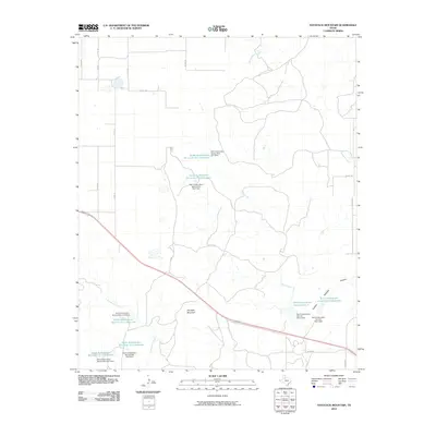
2010 Map of Haystack Mountain
USGS Topo · Published 2010About this map
Haystack Mountain rises above a landscape defined by significant water management efforts in this part of Dickens County. The terrain is marked by a series of engineered water controls, including numerous grade stabilization structures and Soil Conservation Service projects designed to manage the flow of Duck Creek, Cottonwood Creek, and Washout Creek. These features, such as Soil Conservation Service Lake 1 and Grade Stabilization Structure Ca-5 Reservoir, indicate a focus on erosion control and water retention within the drainage basins.
Find a feature on this map
31 named features on this map. Tap any name to fly to it.
Don’t see what you’re looking for? This feature index may not catch every label — zoom into the map to look around manually.
Map Details
Editions of this 2010 Haystack Mountain Map
This is the sole edition of this map. No revisions or reprints were ever made.
Other maps of this area

1954 · Lubbock
USGS Topo · 1:250,000

1961 · Bunker Hill
USGS Topo · 1:24,000

1965 · Wake
USGS Topo · 1:24,000

1966 · McAdoo
USGS Topo · 1:24,000

1967 · Dickens North
USGS Topo · 1:24,000

1967 · Dickens South
USGS Topo · 1:24,000

1967 · Haystack Mountain
USGS Topo · 1:24,000

1968 · Foreman Chapel
USGS Topo · 1:24,000

1968 · Rustler Camp
USGS Topo · 1:24,000

1968 · Afton
USGS Topo · 1:24,000