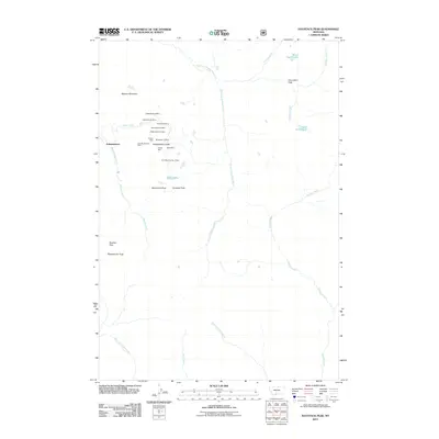
2011 Map of Haystack Peak
USGS Topo · Published 2011About this map
The high-elevation mining district around Independence anchors this survey of the Absaroka-Beartooth region. A dense concentration of extraction sites is clustered on the western slopes, including the Hidden Treasure Mine, Independence Mine, and the Poor Man/Emma Mine. These operations are situated amidst a complex drainage network where the East Fork Boulder River and Slough Creek begin their descent from the peaks.
Find a feature on this map
31 named features on this map. Tap any name to fly to it.
Don’t see what you’re looking for? This feature index may not catch every label — zoom into the map to look around manually.
Map Details
Editions of this 2011 Haystack Peak Map
This is the sole edition of this map. No revisions or reprints were ever made.
Other maps of this area

1891 · Livingston
USGS Topo · 1:250,000

1893 · Livingston
USGS Topo · 1:250,000

1940 · Mt. Cowen
USGS Topo · 1:62,500

1940 · Mt Wallace
USGS Topo · 1:62,500

1941 · Mt Douglas
USGS Topo · 1:62,500

1942 · Cutoff Mtn
USGS Topo · 1:62,500

1943 · Mt Wallace
USGS Topo · 1:62,500

1943 · Mt Douglas
USGS Topo · 1:62,500

1943 · Mt Cowen
USGS Topo · 1:62,500

1944 · Cutoff Mtn
USGS Topo · 1:62,500