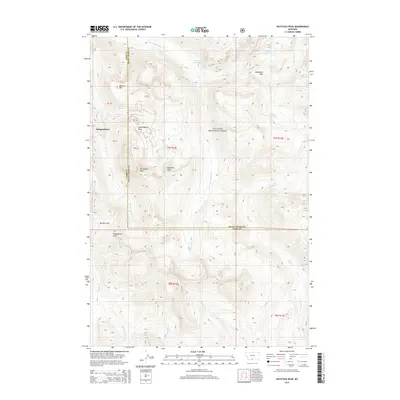
2014 Map of Haystack Peak
USGS Topo · Published 2014About this map
The high alpine environment of the Gallatin National Forest is defined here by dramatic elevations and glacial features within the Absaroka-Beartooth wilderness. At the center of this mountain landscape is Haystack Peak, surrounded by a collection of named summits including Independence Peak, Monument Peak, and Baboon Mtn. The settlement of Independence sits near the western edge of the map, a remnant of the area's mining history situated near the headwaters of the Boulder River. The drainage patterns are intricate, with the E Fork Boulder River carving through the center while high-altitude basins hold Lake Kathleen, Blue Lake, and Lake Columbine. A notable geographic boundary runs through the terrain as the Park Co Sweet Grass Co line bisects the wilderness, following the ridges near Sheepherder Peak and Boulder Pass.
Find a feature on this map
34 named features on this map. Tap any name to fly to it.
Don’t see what you’re looking for? This feature index may not catch every label — zoom into the map to look around manually.
Map Details
Editions of this 2014 Haystack Peak Map
This is the sole edition of this map. No revisions or reprints were ever made.
Other maps of this area

1891 · Livingston
USGS Topo · 1:250,000

1893 · Livingston
USGS Topo · 1:250,000

1940 · Mt. Cowen
USGS Topo · 1:62,500

1940 · Mt Wallace
USGS Topo · 1:62,500

1941 · Mt Douglas
USGS Topo · 1:62,500

1942 · Cutoff Mtn
USGS Topo · 1:62,500

1943 · Mt Wallace
USGS Topo · 1:62,500

1943 · Mt Douglas
USGS Topo · 1:62,500

1943 · Mt Cowen
USGS Topo · 1:62,500

1944 · Cutoff Mtn
USGS Topo · 1:62,500