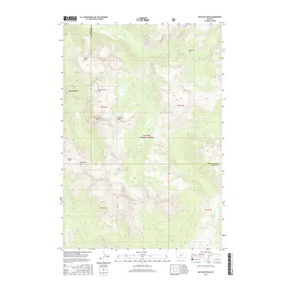
2017 Map of Haystack Peak
USGS Topo · Published 2017About this map
Independence sits at the high-altitude western edge of this territory, marking a site of historic human presence within the expansive Gallatin National Forest. This section of the Absaroka-Beartooth wilderness is defined by its dramatic crests, including Haystack Peak, Independence Peak, and Monument Peak. The drainage patterns here are complex, with the E Fork Boulder River and Columbine Cr carving through the high country, while high-altitude basins hold remote water bodies like Lake Kathleen and Burnt Gulch Lake. The map details the boundary line between Park and Sweet Grass Counties, illustrating how this political division follows the high ridges. Navigational points such as Boulder Pass and landmarks like Baboon Mtn provide essential orientation for researchers studying the alpine geography and land use of this Montana high country in the early twenty-first century.
Find a feature on this map
34 named features on this map. Tap any name to fly to it.
Don’t see what you’re looking for? This feature index may not catch every label — zoom into the map to look around manually.
Map Details
Editions of this 2017 Haystack Peak Map
This is the sole edition of this map. No revisions or reprints were ever made.
Other maps of this area

1891 · Livingston
USGS Topo · 1:250,000

1893 · Livingston
USGS Topo · 1:250,000

1940 · Mt. Cowen
USGS Topo · 1:62,500

1940 · Mt Wallace
USGS Topo · 1:62,500

1941 · Mt Douglas
USGS Topo · 1:62,500

1942 · Cutoff Mtn
USGS Topo · 1:62,500

1943 · Mt Wallace
USGS Topo · 1:62,500

1943 · Mt Douglas
USGS Topo · 1:62,500

1943 · Mt Cowen
USGS Topo · 1:62,500

1944 · Cutoff Mtn
USGS Topo · 1:62,500