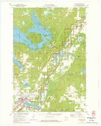
1971 Map of Hayward
USGS Topo · Published 1973About this map
Nelson Lake and its intricate shoreline dominate the northern landscape of this 1970s survey, showing recreation and conservation alongside the growing community of Hayward. The Chicago and North Western railroad corridor remains a primary artery, passing through Phipps and paralleling the Namekagon River. Local history is deeply embedded in the map's labels, from the Indian Cemetery and Indian School Lake to the active presence of state-managed resources like the State Fish Rearing Station and State Nursery.
Find a feature on this map
52 named features on this map. Tap any name to fly to it.
Don’t see what you’re looking for? This feature index may not catch every label — zoom into the map to look around manually.
Map Details
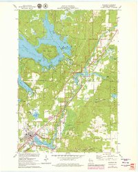
Editions of this 1971 Hayward Map
2 editions found
Other maps of this area

1944 · Couderay
USGS Topo · 1:48,000

1944 · Hayward
USGS Topo · 1:48,000

1947 · Chittamo
USGS Topo · 1:48,000

1948 · Couderay
USGS Topo · 1:48,000

1948 · Stone Lake
USGS Topo · 1:48,000

1949 · Chittamo
USGS Topo · 1:48,000

1950 · Stone Lake
USGS Topo · 1:48,000

1953 · Ashland
USGS Topo · 1:250,000

1953 · Rice Lake
USGS Topo · 1:250,000

1958 · Ashland
USGS Topo · 1:250,000