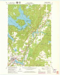
1971 Map of Hayward
USGS Topo · Published 1979About this map
The town of Hayward and its surrounding northern woodlands are mapped here during a period of transition in the 1970s. The landscape is defined by the winding Namekagon River and the sprawling waters of Nelson Lake, where Big Island and Tannings Point stand out as prominent landmarks. This edition documents local infrastructure including the Hayward Airport, the State Fish Hatchery Station, and several essential community sites such as the Hayward Mem Hosp and the Drive-in Theater.
Find a feature on this map
50 named features on this map. Tap any name to fly to it.
Don’t see what you’re looking for? This feature index may not catch every label — zoom into the map to look around manually.
Map Details
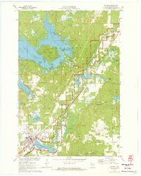
Editions of this 1971 Hayward Map
2 editions found
Other maps of this area

1944 · Couderay
USGS Topo · 1:48,000

1944 · Hayward
USGS Topo · 1:48,000

1947 · Chittamo
USGS Topo · 1:48,000

1948 · Couderay
USGS Topo · 1:48,000

1948 · Stone Lake
USGS Topo · 1:48,000

1949 · Chittamo
USGS Topo · 1:48,000

1950 · Stone Lake
USGS Topo · 1:48,000

1953 · Ashland
USGS Topo · 1:250,000

1953 · Rice Lake
USGS Topo · 1:250,000

1958 · Ashland
USGS Topo · 1:250,000