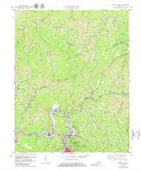
1972 Map of Hazard North
USGS Topo · Published 1979About this map
The North Fork of the Kentucky River winds through this 1972 industrial landscape, where the coal and rail economy of Perry County is on full display. Steep hollows are carved by waterways like Troublesome Creek and Lotts Creek, while numerous Strip Mines and subterranean workings dot the hillsides around the urban center of Hazard. The mapping shows the extensive reach of the Louisville and Nashville railroad, which follows the river and creeks to serve coal settlements such as Hardburly, Bulan, and Blue Diamond.
Find a feature on this map
83 named features on this map. Tap any name to fly to it.
Don’t see what you’re looking for? This feature index may not catch every label — zoom into the map to look around manually.
Map Details
Editions of this 1972 Hazard North Map
2 editions found
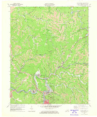
Other maps of this area

1891 · Hazard
USGS Topo · 1:125,000

1913 · Buckhorn
USGS Topo · 1:62,500

1914 · Troublesome
USGS Topo · 1:62,500

1916 · Cornettsville
USGS Topo · 1:62,500

1916 · Hyden
USGS Topo · 1:48,000

1919 · Hyden
USGS Topo · 1:62,500

1954 · Noble
USGS Topo · 1:24,000

1954 · Krypton
USGS Topo · 1:24,000
1954 · Hyden East
USGS Topo · 1:24,000
1954 · Haddix
USGS Topo · 1:24,000