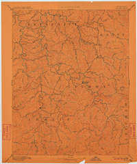
1891 Map of Hazard
USGS Topo · Published 1911About this map
Hazard and Hyden serve as the primary hubs in this late nineteenth-century study of the Kentucky mountains, situated where the North Fork Kentucky River and the Middle Fork cut through the steep terrain. Surveyed in 1889, the map reveals a landscape defined by an intricate network of waterways like Troublesome Creek and Quicksand Creek that dictated the placement of small communities such as Crockettsville and Chavies. The drainage patterns show how isolation shaped early settlements in Perry, Leslie, and Breathitt counties before the arrival of heavy industrial rail. Distinctive landmarks like Nailors Rock and Lost Mt. provided essential orientation for residents navigating the complex ridges and forks that characterize this portion of the Cumberland Plateau.
Find a feature on this map
76 named features on this map. Tap any name to fly to it.
Don’t see what you’re looking for? This feature index may not catch every label — zoom into the map to look around manually.
Map Details
Editions of this 1891 Hazard Map
5 editions found
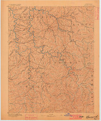
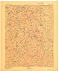
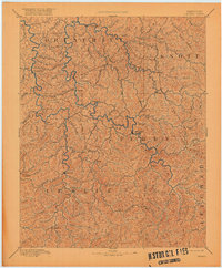
Other maps of this area

1886 · Prestonsburg
USGS Topo · 1:125,000

1886 · Cumberland Gap
USGS Topo · 1:125,000

1887 · Jonesville
USGS Topo · 1:125,000

1888 · Cumberland Gap
USGS Topo · 1:125,000

1889 · Salyersville
USGS Topo · 1:125,000

1890 · Whitesburg
USGS Topo · 1:125,000

1891 · Manchester
USGS Topo · 1:125,000

1891 · Cumberland Gap
USGS Topo · 1:125,000

1891 · Hazard
USGS Topo · 1:125,000

1891 · Jonesville
USGS Topo · 1:125,000