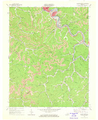
1972 Map of Hazard South
USGS Topo · Published 1973About this map
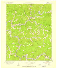
The North Fork of the Kentucky River snakes through the dense ridge-and-valley landscape of Perry County, anchoring the coal-country developments of Hazard and Lothair. The 1970s infrastructure revealed here shows a region defined by its topography, where settlements like Glomawr and Christopher are squeezed into the narrow floodplains and along the winding tracks of the Louisville & Nashville RR. The map records an era of active extraction and local community life, marked by numerous mines and scattered hill-country institutions like Fairview Chapel and Mines Poundmill Ch.
Find a feature on this map
90 named features on this map. Tap any name to fly to it.
Don’t see what you’re looking for? This feature index may not catch every label — zoom into the map to look around manually.
Map Details
Editions of this 1972 Hazard South Map
2 editions found
Other maps of this area

1891 · Hazard
USGS Topo · 1:125,000

1913 · Buckhorn
USGS Topo · 1:62,500

1914 · Troublesome
USGS Topo · 1:62,500

1916 · Cornettsville
USGS Topo · 1:62,500

1916 · Hyden
USGS Topo · 1:48,000

1919 · Hyden
USGS Topo · 1:62,500

1954 · Krypton
USGS Topo · 1:24,000
1954 · Hyden East
USGS Topo · 1:24,000
1954 · Tilford
USGS Topo · 1:24,000
1954 · Vicco
USGS Topo · 1:24,000