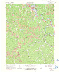
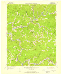
1972 Map of Hazard South
USGS Topo · Published 1976About this map
Kentucky River North Fork anchors this eastern Kentucky landscape, winding past the coal-rich communities south of Hazard. The early 1970s reveal a region defined by its narrow valleys and extensive mining operations, with numerous Mines and a Tipple dotting the hillsides near Glomawr and Fourseam. Educational and civic life is centered around the Hazard Community College and Dilce Combs High Sch, while small neighborhood settlements like Lothair, Diablock, and Christopher cluster along the river and rail corridors.
Find a feature on this map
75 named features on this map. Tap any name to fly to it.
Don’t see what you’re looking for? This feature index may not catch every label — zoom into the map to look around manually.
Map Details
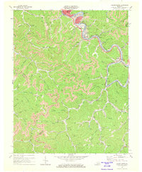
Editions of this 1972 Hazard South Map
2 editions found
Other maps of this area

1891 · Hazard
USGS Topo · 1:125,000

1913 · Buckhorn
USGS Topo · 1:62,500

1914 · Troublesome
USGS Topo · 1:62,500

1916 · Cornettsville
USGS Topo · 1:62,500

1916 · Hyden
USGS Topo · 1:48,000

1919 · Hyden
USGS Topo · 1:62,500

1954 · Krypton
USGS Topo · 1:24,000
1954 · Hyden East
USGS Topo · 1:24,000
1954 · Tilford
USGS Topo · 1:24,000
1954 · Vicco
USGS Topo · 1:24,000