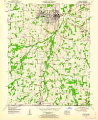
1951 Map of Hazel
USGS Topo · Published 1962About this map
Murray serves as a regional hub in the early 1950s, characterized by the campus of Murray State Teachers College and a burgeoning local infrastructure that includes a Disposal plant and several municipal facilities. The landscape transitions from the urban grid of Murray south toward the Tennessee border, following the Nashville Chattanooga and St Louis railroad line. Along this corridor, smaller communities like Midway and the border town of Hazel anchor a rural economy defined by the winding paths of Clarks River and its numerous tributaries such as Whiteoak Creek.
Find a feature on this map
36 named features on this map. Tap any name to fly to it.
Don’t see what you’re looking for? This feature index may not catch every label — zoom into the map to look around manually.
Map Details
Editions of this 1951 Hazel Map
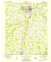
2 editions found
Other maps of this area

1936 · Conyersville
USGS Topo · 1:24,000

1936 · Buchanan
USGS Topo · 1:24,000

1936 · Hazel
USGS Topo · 1:24,000

1936 · New Concord
USGS Topo · 1:24,000

1936 · Crossland
USGS Topo · 1:24,000

1936 · Lynn Grove
USGS Topo · 1:24,000

1936 · Dexter
USGS Topo · 1:24,000

1936 · Hico
USGS Topo · 1:24,000

1936 · Kirksey
USGS Topo · 1:24,000

1942 · New Concord
USGS Topo · 1:24,000