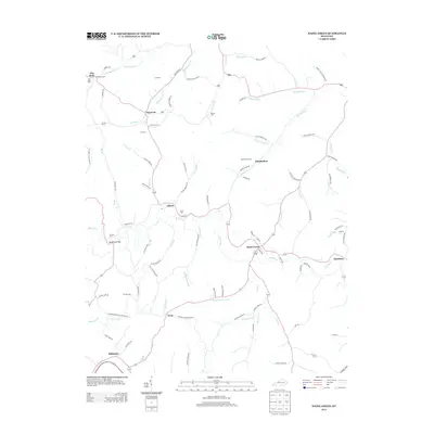
2013 Map of Hazel Green
USGS Topo · Published 2013About this map
Hazel Green serves as a central hub in this early 21st-century portrait of Wolfe County, where the Red River winds through a landscape defined by its complex network of forks and branches. The settlement pattern follows these watercourses, with communities like Murphyfork, Daysboro, and Stillwater established near the junctions of creeks such as Caskey Fork and Lacy Cr. The high density of family-named burial grounds, including Cole Cem, Peiratt Cem, and Day Cem, offers a detailed map for genealogical research, anchoring local lineages to specific hillsides and hollows.
Find a feature on this map
99 named features on this map. Tap any name to fly to it.
Don’t see what you’re looking for? This feature index may not catch every label — zoom into the map to look around manually.
Map Details
Editions of this 2013 Hazel Green Map
This is the sole edition of this map. No revisions or reprints were ever made.
Other maps of this area

1889 · Salyersville
USGS Topo · 1:125,000

1891 · Salyersville
USGS Topo · 1:125,000

1892 · Beattyville
USGS Topo · 1:125,000

1899 · Salyersville
USGS Topo · 1:125,000

1951 · Cannel City
USGS Topo · 1:24,000

1951 · Landsaw
USGS Topo · 1:24,000

1951 · Ezel
USGS Topo · 1:24,000

1951 · Hazel Green
USGS Topo · 1:24,000

1951 · Pomeroyton
USGS Topo · 1:24,000
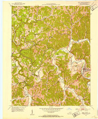
1951 · West Liberty
USGS Topo · 1:24,000