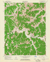
1965 Map of Hazel Green
USGS Topo · Published 1967About this map
The Red River cuts a winding path through the dissected plateau of eastern Kentucky, defining the border between Morgan and Wolfe Counties. This mid-century survey captures a landscape where small valley settlements like Hazel Green and Maytown are connected by a web of narrow hollows and ridge-top roads. The presence of Oil Wells and a Gaging Sta near the river indicates the local importance of resource extraction and water management in the Red River Valley.
Find a feature on this map
43 named features on this map. Tap any name to fly to it.
Don’t see what you’re looking for? This feature index may not catch every label — zoom into the map to look around manually.
Map Details
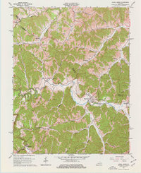
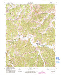
Editions of this 1965 Hazel Green Map
3 editions found
Other maps of this area

1889 · Salyersville
USGS Topo · 1:125,000

1891 · Salyersville
USGS Topo · 1:125,000

1892 · Beattyville
USGS Topo · 1:125,000

1899 · Salyersville
USGS Topo · 1:125,000

1951 · Cannel City
USGS Topo · 1:24,000

1951 · Landsaw
USGS Topo · 1:24,000

1951 · Ezel
USGS Topo · 1:24,000

1951 · Hazel Green
USGS Topo · 1:24,000

1951 · Pomeroyton
USGS Topo · 1:24,000
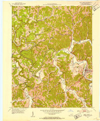
1951 · West Liberty
USGS Topo · 1:24,000