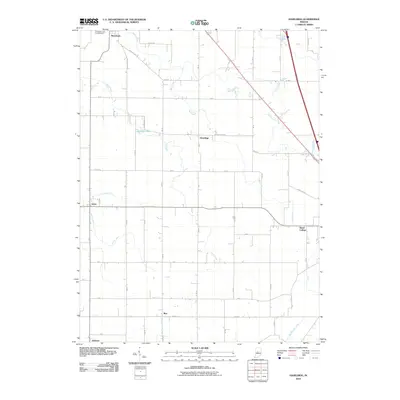
2010 Map of Hazelrigg
USGS Topo · Published 2010About this map
Hazel College and the surrounding farmsteads of western Boone County define this landscape as it appeared in the early 21st century. The map centers on the small settlement of Hazelrigg, a community situated between the larger hubs of Thorntown and Advance. The terrain is characterized by a dense network of agricultural drainages and creeks, including Little Sugar Creek, Wolf Creek, and Deer Creek, which reveal the intensive water management required for the region's productive farmland.
Find a feature on this map
34 named features on this map. Tap any name to fly to it.
Don’t see what you’re looking for? This feature index may not catch every label — zoom into the map to look around manually.
Map Details
Editions of this 2010 Hazelrigg Map
This is the sole edition of this map. No revisions or reprints were ever made.
Other maps of this area

1953 · Fayette
USGS Topo · 1:24,000

1953 · Lizton
USGS Topo · 1:24,000

1953 · Lebanon
USGS Topo · 1:24,000

1953 · Danville
USGS Topo · 1:250,000

1953 · Indianapolis
USGS Topo · 1:250,000

1955 · Danville
USGS Topo · 1:250,000

1956 · Danville
USGS Topo · 1:250,000

1956 · Indianapolis
USGS Topo · 1:250,000

1957 · Indianapolis
USGS Topo · 1:250,000

1957 · New Ross
USGS Topo · 1:24,000