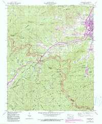
1941 Map of Hazelwood
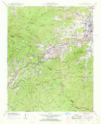
USGS Topo · Published 1974About this map
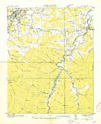
The Plott Balsams dominate this landscape of the Great Smoky Mountains, where the high peaks of Plott Balsam and Jones Knob tower over the emerging mid-century infrastructure of the southern Appalachians. The Southern railroad and U S 23 corridor serve as the primary artery for the mountain communities of Hazelwood, Saunook, and Balsam. While Waynesville occupies the northeastern edge, the interior is defined by institutional and industrial footprints, including the Prison Camp near Richland Creek, the Morrison Fish Hatchery, and the high-elevation Grassy Ridge Mine. Local family history is preserved through numerous burial grounds like Plott Cem and Redbank Cem, while the Waynesville Reservoir tucked into Big Field Cove Branch illustrates the era's focus on managed water resources for the growing mountain population.
Find a feature on this map
90 named features on this map. Tap any name to fly to it.
Don’t see what you’re looking for? This feature index may not catch every label — zoom into the map to look around manually.
Map Details
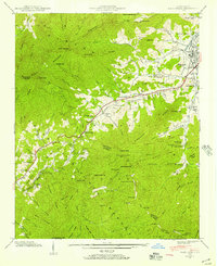
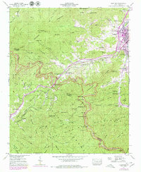
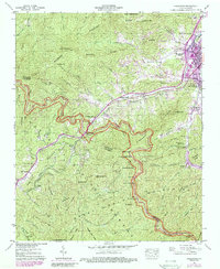
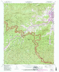
Editions of this 1941 Hazelwood Map
7 editions found

Other maps of this area

1891 · Cowee
USGS Topo · 1:125,000

1893 · Mt Guyot
USGS Topo · 1:125,000

1894 · Asheville
USGS Topo · 1:125,000

1897 · Cowee
USGS Topo · 1:125,000

1901 · Asheville
USGS Topo · 1:125,000

1905 · Pisgah
USGS Topo · 1:125,000

1906 · Pisgah
USGS Topo · 1:125,000

1907 · Cowee
USGS Topo · 1:125,000

1912 · Mt Guyot
USGS Topo · 1:125,000
1935 · Waynesville
USGS Topo · 1:24,000