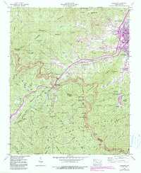
1941 Map of Hazelwood
USGS Topo · Published 1990About this map
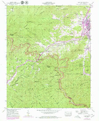
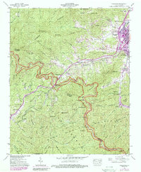
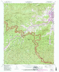
The Great Balsam Mountains dominate this landscape where the Southern railroad winds through Balsam Gap, connecting the industrial corridors of Hazelwood and Waynesville to the rural western reaches. This 1941 survey, updated with 1980s developments, reveals a complex high-altitude economy, featuring the Grassy Ridge Mine and the Morrison Fish Hatchery. The presence of a Prison Camp near the Haywood Jackson county line suggests a specialized land use characteristic of the era's infrastructure.
Find a feature on this map
103 named features on this map. Tap any name to fly to it.
Don’t see what you’re looking for? This feature index may not catch every label — zoom into the map to look around manually.
Map Details
Editions of this 1941 Hazelwood Map
7 editions found
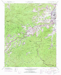
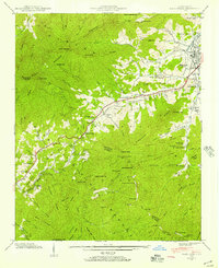
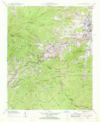
Other maps of this area

1891 · Cowee
USGS Topo · 1:125,000

1893 · Mt Guyot
USGS Topo · 1:125,000

1894 · Asheville
USGS Topo · 1:125,000

1897 · Cowee
USGS Topo · 1:125,000

1901 · Asheville
USGS Topo · 1:125,000

1905 · Pisgah
USGS Topo · 1:125,000

1906 · Pisgah
USGS Topo · 1:125,000

1907 · Cowee
USGS Topo · 1:125,000

1912 · Mt Guyot
USGS Topo · 1:125,000

1935 · Waynesville
USGS Topo · 1:24,000