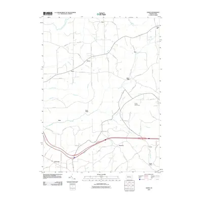
2010 Map of Hazen
USGS Topo · Published 2010About this map
Warsaw Township in Jefferson County serves as the backdrop for this geographic study of rural Pennsylvania. The landscape is defined by the winding course of Mill Creek and its many tributaries, such as Little Mill Creek, Seneca Run, and Laurel Run. Small, historically significant hamlets dot the countryside, including Hazen, Allens Mills, and Sugar Hill, which are linked by a network of local roads like Cemetery Rd and Reitz Crossing Rd.
Find a feature on this map
71 named features on this map. Tap any name to fly to it.
Don’t see what you’re looking for? This feature index may not catch every label — zoom into the map to look around manually.
Map Details
Editions of this 2010 Hazen Map
This is the sole edition of this map. No revisions or reprints were ever made.
Other maps of this area

1918 · Loleta
USGS Topo · 1:62,500

1922 · Du Bois
USGS Topo · 1:62,500

1924 · Du Bois
USGS Topo · 1:62,500

1924 · Brookville
USGS Topo · 1:62,500

1926 · Brookville
USGS Topo · 1:62,500

1936 · Marienville
USGS Topo · 1:48,000

1940 · Hallton
USGS Topo · 1:48,000

1941 · Marienville
USGS Topo · 1:62,500

1943 · Hallton
USGS Topo · 1:62,500

1944 · Du Bois
USGS Topo · 1:62,500
Featured Places
- Warsaw Township, PA
- Winslow Township, PA
- Pine Creek Township, PA
- Pardus, Washington Township
- Sugar Hill, Snyder Township