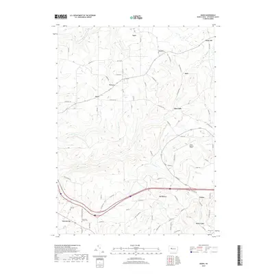
2019 Map of Hazen
USGS Topo · Published 2019About this map
The small crossroads of Warsaw and Hazen serve as focal points for this rural Jefferson County landscape, where family settlements and local history are etched into the terrain. A network of small rural lanes, such as Reitz Crossing Rd and Allens Mills Rd, connects a series of hamlets including Allens Mills and Hormtown. The map reveals a deep-rooted community character, notably marked by the Hazen Amish Community Cem and the Emerickville Lutheran Cem, alongside other modest burial grounds like Temple Cem and Smith Cem.
Find a feature on this map
74 named features on this map. Tap any name to fly to it.
Don’t see what you’re looking for? This feature index may not catch every label — zoom into the map to look around manually.
Map Details
Editions of this 2019 Hazen Map
This is the sole edition of this map. No revisions or reprints were ever made.
Other maps of this area

1918 · Loleta
USGS Topo · 1:62,500

1922 · Du Bois
USGS Topo · 1:62,500

1924 · Du Bois
USGS Topo · 1:62,500

1924 · Brookville
USGS Topo · 1:62,500

1926 · Brookville
USGS Topo · 1:62,500

1936 · Marienville
USGS Topo · 1:48,000

1940 · Hallton
USGS Topo · 1:48,000

1941 · Marienville
USGS Topo · 1:62,500

1943 · Hallton
USGS Topo · 1:62,500

1944 · Du Bois
USGS Topo · 1:62,500
Featured Places
- Warsaw Township, PA
- Winslow Township, PA
- Pine Creek Township, PA
- Pardus, Washington Township
- Sugar Hill, Snyder Township