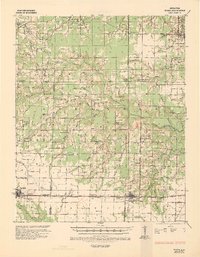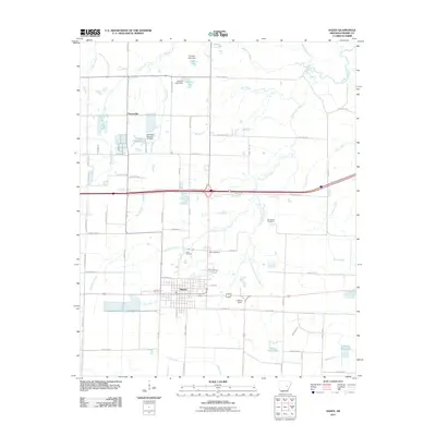
1967 Map of Hazen
USGS Topo · Published 1967About this map
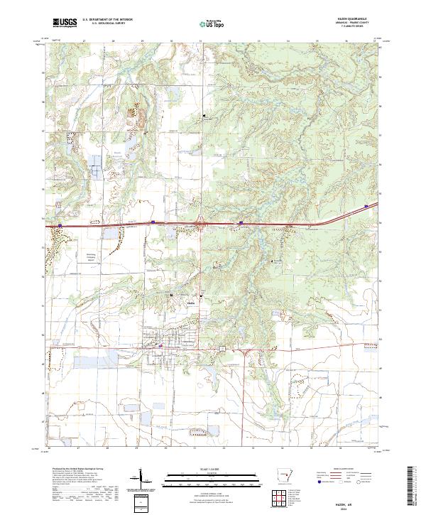
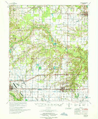
Hazen and Carlisle anchor this mid-1960s landscape, where the agricultural character of the Grand Prairie meets the bottomlands of the Wattensaw State Game Area. The transportation network is dominated by the Chicago Rock Island and Pacific railroad and the modern corridor of Interstate 40, which cuts through the southern portion of the map. This era is marked by extensive water management for local farming, evidenced by numerous irrigation features like the Flume networks and several private reservoirs such as Hansons Reservoir and Vaughts Reservoir.
Find a feature on this map
65 named features on this map. Tap any name to fly to it.
Don’t see what you’re looking for? This feature index may not catch every label — zoom into the map to look around manually.
Map Details
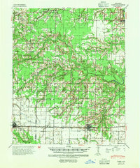
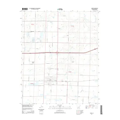
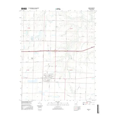
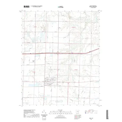
Editions of this 1967 Hazen Map
This is the sole edition of this map. No revisions or reprints were ever made.
Historical Maps of Carlisle Through Time
10 maps found