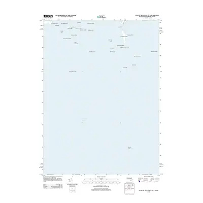
2012 Map of Head of Westport OE S
USGS Topo · Published 2012About this map
Gooseberry Neck and its northern neighbor Gumbys Head form a prominent coastal extension into the Atlantic Ocean in this coastal survey. This maritime landscape is defined by its extensive network of named hazards and ledges, which have long shaped navigation at the mouth of Buzzards Bay. Near the shoreline, E Beach Rd provides the primary terrestrial access, while the waters are marked by distinctive landmarks such as the Buzzards Bay Entrance Light and the curiously named Hen and Chickens reef. The map serves as a precise guide to the complex seafloor topography, identifying numerous fishing grounds and family-named features like Joe Burris Ledge, Tripp Ledge, and Briggs Rock. These specific labels reflect a localized maritime history where individual rocks and ledges, such as The Wildcat and Old Cock, were of critical importance to local mariners and coastal residents.
Find a feature on this map
31 named features on this map. Tap any name to fly to it.
Don’t see what you’re looking for? This feature index may not catch every label — zoom into the map to look around manually.
Map Details
Editions of this 2012 Head of Westport OE S Map
This is the sole edition of this map. No revisions or reprints were ever made.
Other maps of this area

1885 · New Bedford
USGS Topo · 1:62,500

1885 · Sakonnet
USGS Topo · 1:62,500

1888 · New Bedford
USGS Topo · 1:62,500

1888 · Fall River
USGS Topo · 1:62,500

1888 · Sakonnet
USGS Topo · 1:62,500

1893 · Sakonnet
USGS Topo · 1:62,500

1893 · Fall River
USGS Topo · 1:62,500

1893 · New Bedford
USGS Topo · 1:62,500

1918 · New Bedford
USGS Topo · 1:62,500

1919 · Fall River
USGS Topo · 1:62,500