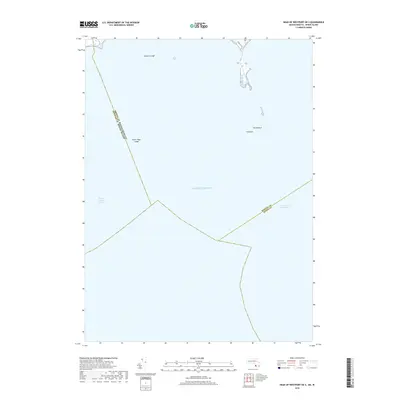
2018 Map of Head of Westport OE S
USGS Topo · Published 2018About this map
Maritime hazards and deep-water boundaries define this coastal survey off the shores of Bristol and Dukes counties. The landscape is primarily aquatic, dominated by the Rhode Island Sound and the open expanse of the Atlantic Ocean. Submerged navigational features such as Twomile Ledge, Inner Mayo Ledge, and the colorfully named Old Cock and The Wildcat indicate the treacherous nature of these waters for mariners navigating toward the mainland.
Find a feature on this map
10 named features on this map. Tap any name to fly to it.
Don’t see what you’re looking for? This feature index may not catch every label — zoom into the map to look around manually.
Map Details
Editions of this 2018 Head of Westport OE S Map
This is the sole edition of this map. No revisions or reprints were ever made.
Other maps of this area

1885 · New Bedford
USGS Topo · 1:62,500

1885 · Sakonnet
USGS Topo · 1:62,500

1888 · New Bedford
USGS Topo · 1:62,500

1888 · Fall River
USGS Topo · 1:62,500

1888 · Sakonnet
USGS Topo · 1:62,500

1893 · Sakonnet
USGS Topo · 1:62,500

1893 · Fall River
USGS Topo · 1:62,500

1893 · New Bedford
USGS Topo · 1:62,500

1918 · New Bedford
USGS Topo · 1:62,500

1919 · Fall River
USGS Topo · 1:62,500