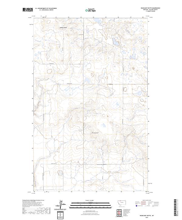
2024 Map of Headlight Butte
USGS Topo · Published 2024About this map
Zenith Colony anchors the northern portion of this high-plains landscape in Glacier County, where a network of gravel roads connects isolated agricultural outposts and landmarks. The terrain is defined by low-relief drainage patterns and the prominent rise of Headlight Butte in the center of the sheet, providing a primary navigational point for the surrounding township. This modern survey reflects the enduring section-line grid system, with routes like Winkler School Rd and Micheals Rd tracing the boundaries of large-scale land tracts.
Find a feature on this map
17 named features on this map. Tap any name to fly to it.
Don’t see what you’re looking for? This feature index may not catch every label — zoom into the map to look around manually.
Map Details
Editions of this 2024 Headlight Butte Map
This is the sole edition of this map. No revisions or reprints were ever made.
Other maps of this area
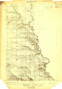
1907 · Blackfoot Res.
USGS Topo · 1:48,000
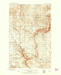
1909 · Cut Bank
USGS Topo · 1:125,000
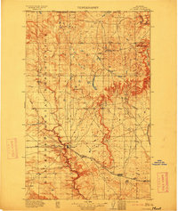
1912 · Cut Bank
USGS Topo · 1:125,000
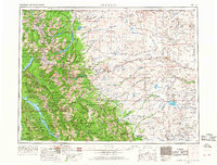
1960 · Cut Bank
USGS Topo · 1:250,000
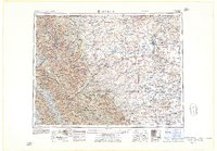
1963 · Cut Bank
USGS Topo · 1:250,000
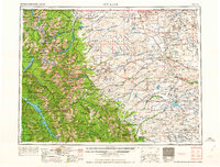
1964 · Cut Bank
USGS Topo · 1:250,000
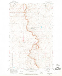
1966 · Ethridge NW
USGS Topo · 1:24,000
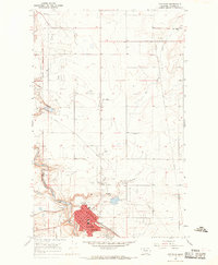
1966 · Cut Bank
USGS Topo · 1:24,000
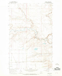
1966 · Gunsight
USGS Topo · 1:24,000
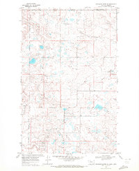
1968 · Headlight Butte NE
USGS Topo · 1:24,000