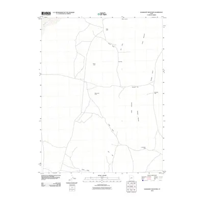
2010 Map of Headlight Mountain
USGS Topo · Published 2010About this map
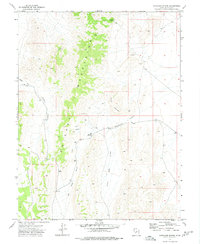
Sevier Lake borders the northwest corner of this basin-and-range landscape, where the Cricket Mountains dominate the eastern topography. The terrain is defined by a series of high-altitude passes and valleys, including Headlight Pass, Lone Cedar Pass, and Cys Pass, which provide natural corridors through the peaks. This 2010 survey shows a network of unpaved roads and tracks connecting landmarks such as Monument Point and Petes Knoll, suggesting a region primarily used for ranching or resource management.
Find a feature on this map
17 named features on this map. Tap any name to fly to it.
Don’t see what you’re looking for? This feature index may not catch every label — zoom into the map to look around manually.
Map Details
Editions of this 2010 Headlight Mountain Map
This is the sole edition of this map. No revisions or reprints were ever made.
Other maps of this area

1885 · Beaver
USGS Topo · 1:250,000

1953 · Richfield
USGS Topo · 1:250,000

1958 · Richfield
USGS Topo · 1:250,000

1960 · Beaver Lake Mts.
USGS Topo · 1:62,500

1972 · Headlight Mtn
USGS Topo · 1:24,000
1972 · Needle Point
USGS Topo · 1:24,000
1972 · Sevier Lake NE
USGS Topo · 1:24,000
1972 · Sevier Lake SW
USGS Topo · 1:24,000

1973 · Black Rock
USGS Topo · 1:24,000
1973 · Candland Spring
USGS Topo · 1:24,000