
2020 Map of Headlight Mountain
USGS Topo · Published 2020About this map
Headlight Mtn anchors this section of the Cricket Mountains in western Utah, where the terrain breaks into a complex system of passes and draws. The high desert landscape is defined by natural corridors such as Headlight Pass and Cys Pass, which provide passage between the elevated ridges and the surrounding lowlands. To the northwest, the edge of Sevier Lake marks a significant hydrological feature in this arid environment. The map details a series of topographical landmarks including Monument Point and Petes Knoll, suggesting a geography shaped by distinct geological formations. The orientation of Cedar Valley and Shorts Valley indicates the natural drainage patterns that have historically influenced movement and land use in this part of Millard County.
Find a feature on this map
17 named features on this map. Tap any name to fly to it.
Don’t see what you’re looking for? This feature index may not catch every label — zoom into the map to look around manually.
Map Details
Editions of this 2020 Headlight Mountain Map
This is the sole edition of this map. No revisions or reprints were ever made.
Other maps of this area

1885 · Beaver
USGS Topo · 1:250,000

1953 · Richfield
USGS Topo · 1:250,000

1958 · Richfield
USGS Topo · 1:250,000

1960 · Beaver Lake Mts.
USGS Topo · 1:62,500

1972 · Headlight Mtn
USGS Topo · 1:24,000
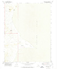
1972 · Needle Point
USGS Topo · 1:24,000
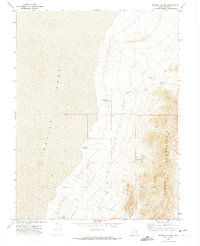
1972 · Sevier Lake NE
USGS Topo · 1:24,000
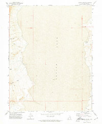
1972 · Sevier Lake SW
USGS Topo · 1:24,000

1973 · Black Rock
USGS Topo · 1:24,000
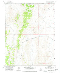
1973 · Candland Spring
USGS Topo · 1:24,000