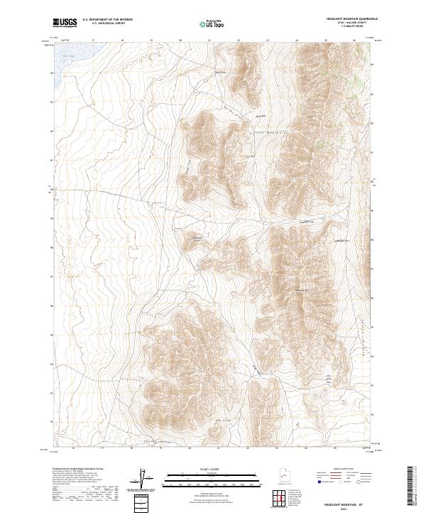
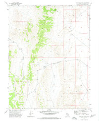
2023 Map of Headlight Mountain
USGS Topo · Published 2023About this map
Sevier Lake marks the northwestern corner of this West Desert landscape, where the flat valley floor meets the rising elevations of the Cricket Mountains. The terrain is defined by a series of high ridges and narrow gaps, including Headlight Gap and Headlight Pass, which provide natural transit points through the steep topography surrounding Headlight Mtn. The map reveals a remote environment of named draws and valleys, such as Dorthy Draw and Shorts Valley, which have historically served as corridors for grazing and land management in this arid portion of Millard County.
Find a feature on this map
16 named features on this map. Tap any name to fly to it.
Don’t see what you’re looking for? This feature index may not catch every label — zoom into the map to look around manually.
Map Details
Editions of this 2023 Headlight Mountain Map
This is the sole edition of this map. No revisions or reprints were ever made.
Other maps of this area

1885 · Beaver
USGS Topo · 1:250,000

1953 · Richfield
USGS Topo · 1:250,000

1958 · Richfield
USGS Topo · 1:250,000

1960 · Beaver Lake Mts.
USGS Topo · 1:62,500

1972 · Headlight Mtn
USGS Topo · 1:24,000
1972 · Needle Point
USGS Topo · 1:24,000
1972 · Sevier Lake NE
USGS Topo · 1:24,000
1972 · Sevier Lake SW
USGS Topo · 1:24,000

1973 · Black Rock
USGS Topo · 1:24,000
1973 · Candland Spring
USGS Topo · 1:24,000