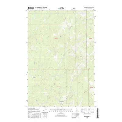
2017 Map of Headquarters
USGS Topo · Published 2017About this map
Headquarters serves as the focal point for this section of Clearwater County, situated at the confluence of several vital mountain corridors. The landscape is defined by the complex drainage systems of Reeds Cr, including its northern and southern forks, and the Silver Cr basin to the north. These waterways carve through a terrain punctuated by significant elevations like Silver Butte and the curiously named Dull Axe Mtn.
Find a feature on this map
34 named features on this map. Tap any name to fly to it.
Don’t see what you’re looking for? This feature index may not catch every label — zoom into the map to look around manually.
Map Details
Editions of this 2017 Headquarters Map
This is the sole edition of this map. No revisions or reprints were ever made.
Other maps of this area

1923 · Washington Creek
USGS Topo · 1:125,000

1936 · Boehls Butte
USGS Topo · 1:48,000

1938 · Headquarters
USGS Topo · 1:48,000

1943 · Boehls Butte
USGS Topo · 1:62,500

1944 · Headquarters
USGS Topo · 1:62,500

1956 · Hamilton
USGS Topo · 1:250,000

1959 · Hamilton
USGS Topo · 1:250,000

1960 · Hamilton
USGS Topo · 1:250,000

1964 · Hamilton
USGS Topo · 1:250,000

1965 · French Mountain
USGS Topo · 1:24,000