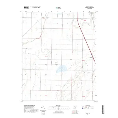
2020 Map of Heafer
USGS Topo · Published 2020About this map
The agricultural plains of Crittenden County are meticulously charted in this 2020 survey, centered on the community of Turrell and the surrounding delta landscape. The terrain is defined by a dense network of county roads and drainage systems like Big Creek and Dry Bayou, reflecting the area's intensive land management. Small settlements such as Heafer, Booker, and Clarkedale anchor the map, serving as local hubs within the grid of township and range boundaries.
Find a feature on this map
61 named features on this map. Tap any name to fly to it.
Don’t see what you’re looking for? This feature index may not catch every label — zoom into the map to look around manually.
Map Details
Editions of this 2020 Heafer Map
This is the sole edition of this map. No revisions or reprints were ever made.
Other maps of this area

1916 · Memphis
USGS Topo · 1:62,500

1925 · Memphis
USGS Topo · 1:48,000

1927 · Memphis
USGS Topo · 1:62,500

1931 · Jericho
USGS Topo · 1:62,500

1939 · Jericho
USGS Topo · 1:62,500

1939 · Edmondson
USGS Topo · 1:62,500

1939 · Memphis
USGS Topo · 1:62,500

1940 · Deckerville
USGS Topo · 1:62,500

1952 · Jericho
USGS Topo · 1:62,500

1953 · Memphis
USGS Topo · 1:250,000