
1940 Map of Healdsburg
USGS Topo · Published 1940About this map
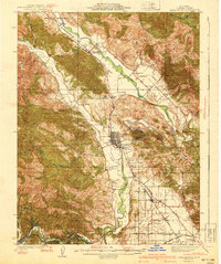
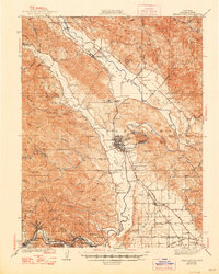
Healdsburg serves as the focal point of this Sonoma County valley landscape, where the Russian River snakes through fertile lands bordered by the Northwestern Pacific railroad. The map documents a transition from established agricultural settlements like Geyserville and Windsor to the dense redwood groves near Guerneville. Significant cultural landmarks include the Lytton Industrial Home and two designated tribal areas, the Dry Creek Rancheria and Wapo Rancheria. Local history is preserved through a high density of rural schoolhouses, such as Manzanita Sch and Lambert Sch, which served the outlying canyon and creek communities. Terrain features like Fitch Mtn and Chalk Hill rise above the valley floor, while the Redwood Highway provides the primary north-south artery through the vineyard-rich Sotoyome and Tzabaco land grants.
Find a feature on this map
105 named features on this map. Tap any name to fly to it.
Don’t see what you’re looking for? This feature index may not catch every label — zoom into the map to look around manually.
Map Details
Editions of this 1940 Healdsburg Map
3 editions found
Other maps of this area

1916 · Santa Rosa
USGS Topo · 1:62,500

1920 · Healdsburg
USGS Topo · 1:62,500

1921 · Skaggs
USGS Topo · 1:62,500

1921 · Kelseyville
USGS Topo · 1:62,500

1927 · Calistoga
USGS Topo · 1:62,500

1933 · Healdsburg
USGS Topo · 1:48,000

1935 · Sebastopol
USGS Topo · 1:48,000

1938 · Hopland
USGS Topo · 1:62,500

1942 · Sebastopol
USGS Topo · 1:62,500

1943 · Calistoga
USGS Topo · 1:62,500