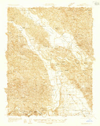
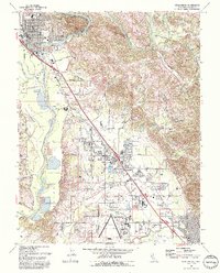
1955 Map of Healdsburg
USGS Topo · Published 1980About this map
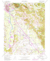
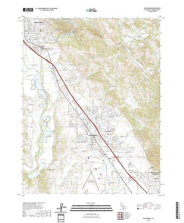
Healdsburg sits at the northern end of a valley landscape defined by the winding Russian River and the steady path of the Northwestern Pacific railroad. The terrain transitions from the residential streets of the town and the seasonal retreats at Del Rio Woods and Camp Rose to the agricultural lands and orchards surrounding Windsor and East Windsor. This 1955 survey, updated in 1980, reveals the early footprint of the Sonoma County Airport and the expansion of rural settlements along the Pacific Highway.
Find a feature on this map
53 named features on this map. Tap any name to fly to it.
Don’t see what you’re looking for? This feature index may not catch every label — zoom into the map to look around manually.
Map Details
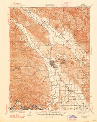
Editions of this 1955 Healdsburg Map
3 editions found
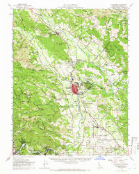
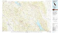
Historical Maps of Windsor Through Time
11 maps found
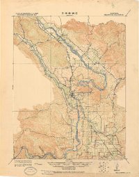
1920 Healdsburg
Sonoma County, CA
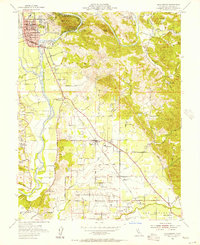
1933 Healdsburg
Sonoma County, CA
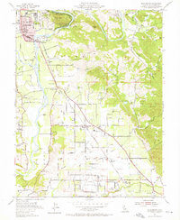
1940 Healdsburg
Sonoma County, CA
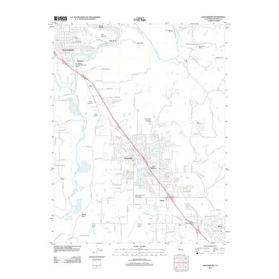
1955 Healdsburg
Sonoma County, CA
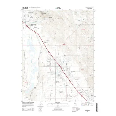
1955 Healdsburg
Sonoma County, CA
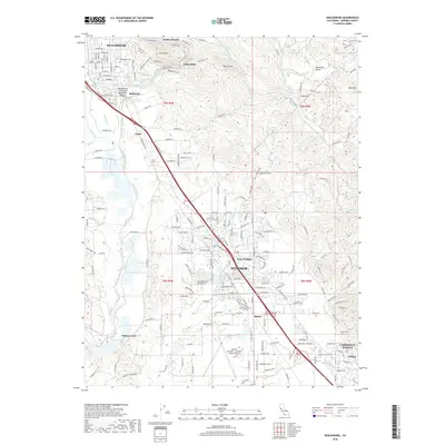
1972 Healdsburg
Sonoma County, CA
1993 Healdsburg
Sonoma County, CA
2012 Healdsburg
Sonoma County, CA
2015 Healdsburg
Sonoma County, CA
2018 Healdsburg
Sonoma County, CA
2021 Healdsburg
Sonoma County, CA