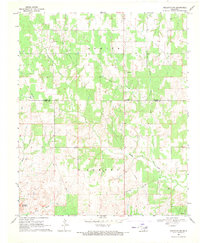
1969 Map of Healdton SW
USGS Topo · Published 1971About this map
The boundary between CARTER CO and LOVE CO defines this rural landscape in south-central Oklahoma, where the creek systems of the Arbuckle foothills dictate the local geography. Simon Creek and its many tributaries, including North Simon Creek and Coon Creek, carve through the terrain as it rises toward Brushy Mountain in the southwest. The presence of Oil Wells in the southern portion of the sheet reflects the region's industrial ties to the Healdton oil field during the late 1960s.
Find a feature on this map
17 named features on this map. Tap any name to fly to it.
Don’t see what you’re looking for? This feature index may not catch every label — zoom into the map to look around manually.
Map Details
Editions of this 1969 Healdton SW Map
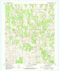
2 editions found
Other maps of this area

1901 · Addington
USGS Topo · 1:125,000

1901 · Ardmore
USGS Topo · 1:125,000

1902 · Gainesville
USGS Topo · 1:125,000

1905 · Montague
USGS Topo · 1:125,000

1918 · Ardmore
USGS Topo · 1:125,000

1943 · Gainesville
USGS Topo · 1:125,000

1954 · Sherman
USGS Topo · 1:250,000

1957 · Ardmore
USGS Topo · 1:250,000

1958 · Sherman
USGS Topo · 1:250,000

1963 · Ardmore
USGS Topo · 1:250,000