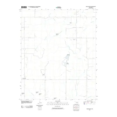
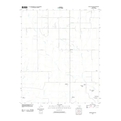
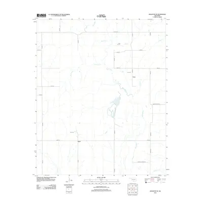
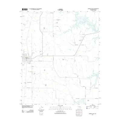
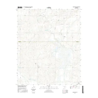
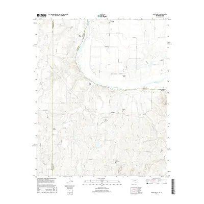
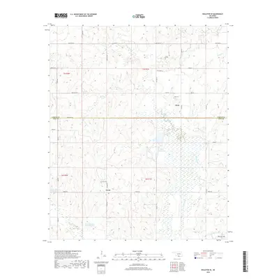
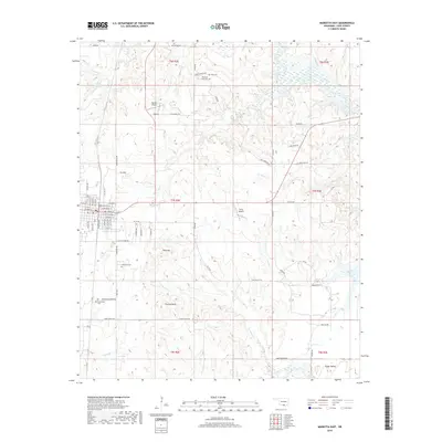
1969 Map of Healdton SW
USGS Topo · Published 1986About this map
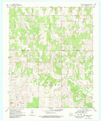
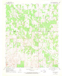
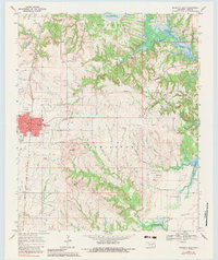
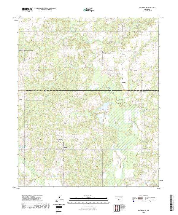
Simon Creek and its tributary, North Simon Creek, dominate the drainage patterns of this South Central Oklahoma landscape during the late 1960s. The terrain transitions from the lowlands near Sandy Creek in the west toward the prominent Brushy Mountain in the southwest corner. The intersection of Carter and Love counties is marked by dispersed rural landmarks, including the Post Oak community and family-named burial grounds like Morgan Cem and Simon Cem.
Find a feature on this map
15 named features on this map. Tap any name to fly to it.
Don’t see what you’re looking for? This feature index may not catch every label — zoom into the map to look around manually.
Map Details
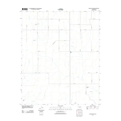
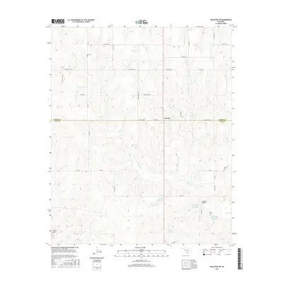
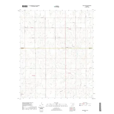
Editions of this 1969 Healdton SW Map
2 editions found
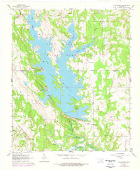
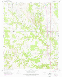
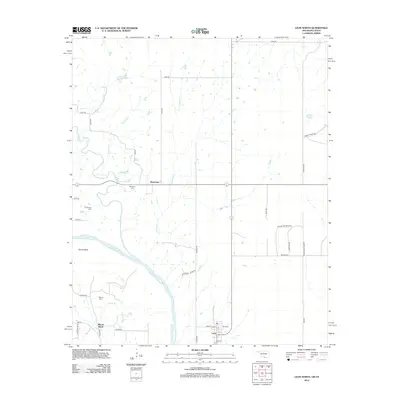
Historical Maps of Post Oak Through Time
47 maps found
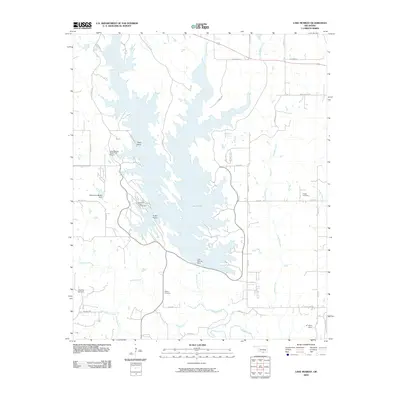
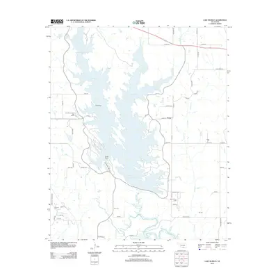
1964 Lake Murray
Love County, OK
1964 Overbrook
Love County, OK
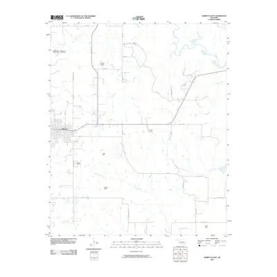
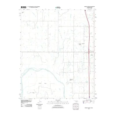
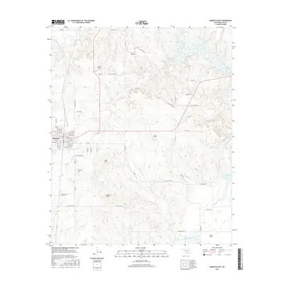
1967 Marietta East
Love County, OK
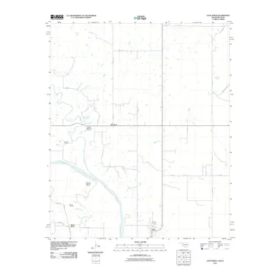
1968 Leon North
Love County, OK
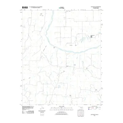
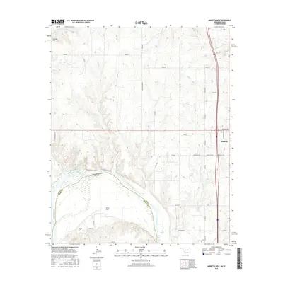
1968 Marietta West
Love County, OK
1969 Healdton SE
Love County, OK
1969 Healdton SW
Love County, OK
2009 Healdton SE
Love County, OK
2009 Lake Murray
Love County, OK
2009 Marietta East
Love County, OK
2009 Overbrook
Love County, OK
2010 Healdton SW
Love County, OK
2010 Leon North
Love County, OK
2010 Leon South
Love County, OK
2010 Marietta West
Love County, OK
2012 Healdton SE
Love County, OK
2012 Healdton SW
Love County, OK
2012 Lake Murray
Love County, OK
2012 Leon North
Love County, OK
2012 Marietta East
Love County, OK
2012 Overbrook
Love County, OK
2013 Leon South
Love County, OK
2013 Marietta West
Love County, OK
2016 Healdton SE
Love County, OK
2016 Healdton SW
Love County, OK
2016 Lake Murray
Love County, OK
2016 Leon North
Love County, OK
2016 Leon South
Love County, OK
2016 Marietta East
Love County, OK
2016 Marietta West
Love County, OK
2016 Overbrook
Love County, OK
2018 Healdton SE
Love County, OK
2018 Healdton SW
Love County, OK
2018 Lake Murray
Love County, OK
2018 Leon South
Love County, OK
2018 Marietta East
Love County, OK
2018 Overbrook
Love County, OK
2019 Leon North
Love County, OK
2019 Marietta West
Love County, OK
2022 Healdton SE
Love County, OK
2022 Healdton SW
Love County, OK
2022 Lake Murray
Love County, OK

2022 Leon North
Love County, OK
2022 Leon South
Love County, OK
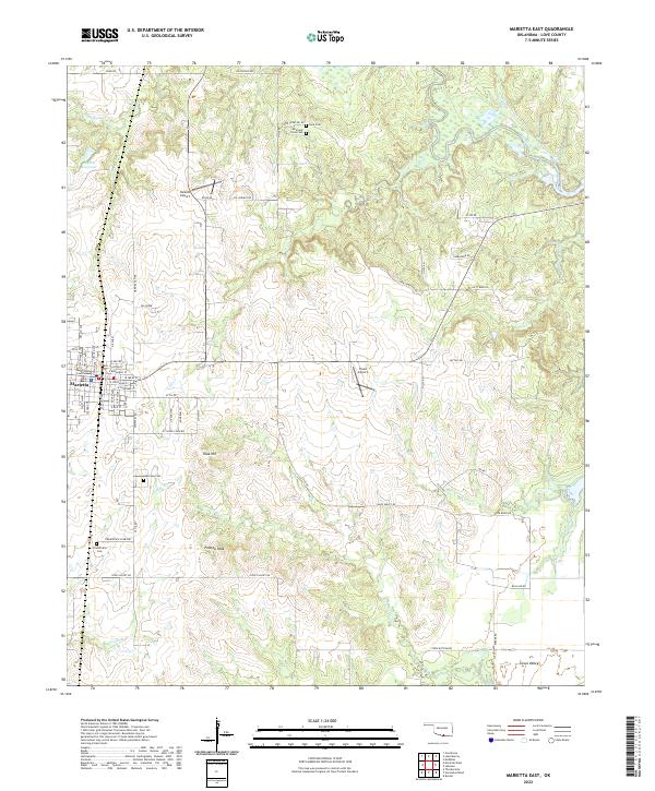
2022 Marietta East
Love County, OK
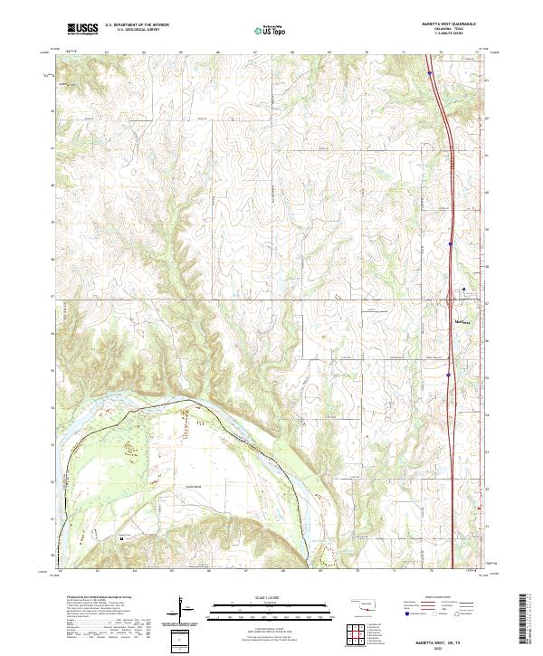
2022 Marietta West
Love County, OK
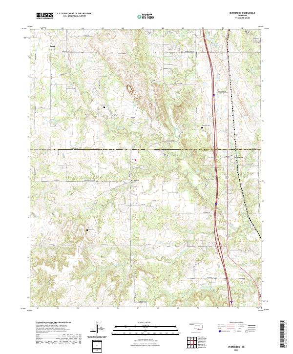
2022 Overbrook
Love County, OK