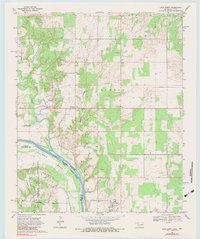
1968 Map of Leon North
USGS Topo · Published 1983About this map
Illinois Bend and the winding course of the Red River define this border landscape between Oklahoma and Texas in the late 1960s. The terrain transitions from the upland heights of Burney down to the fertile river bottoms, where an Indefinite Boundary marks the shifting nature of the river's path. Small agricultural and ranching communities such as Rubottom and Leon serve as the primary focal points of human activity, connected by a network of rural roads and a major industrial Pipeline corridor.
Find a feature on this map
21 named features on this map. Tap any name to fly to it.
Don’t see what you’re looking for? This feature index may not catch every label — zoom into the map to look around manually.
Map Details
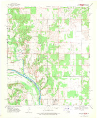
Editions of this 1968 Leon North Map
2 editions found
Other maps of this area

1901 · Addington
USGS Topo · 1:125,000

1901 · Ardmore
USGS Topo · 1:125,000

1902 · Gainesville
USGS Topo · 1:125,000

1905 · Montague
USGS Topo · 1:125,000

1918 · Ardmore
USGS Topo · 1:125,000

1943 · Gainesville
USGS Topo · 1:125,000

1954 · Sherman
USGS Topo · 1:250,000

1957 · Ardmore
USGS Topo · 1:250,000

1958 · Sherman
USGS Topo · 1:250,000

1963 · Ardmore
USGS Topo · 1:250,000