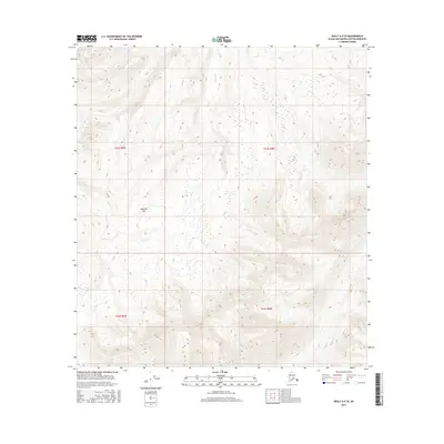
2016 Map of Healy A-5 SE
USGS Topo · Published 2016About this map
Honolulu Pass provides a significant transit point through the high-elevation terrain of this Alaska interior landscape. The drainage patterns are defined by the headwaters of Honolulu Cr and Crooked Cr, which carve through the steep topography of the Matanuska-Susitna Borough. This 2016 survey highlights a largely undeveloped wilderness where the natural landscape remains the primary feature, undisturbed by established settlements or road networks. The intricate contour lines demonstrate the sharp relief of the surrounding mountains, providing essential data for understanding the hydrology and geological structure of this part of the Talkeetna Mountains periphery.
Find a feature on this map
7 named features on this map. Tap any name to fly to it.
Don’t see what you’re looking for? This feature index may not catch every label — zoom into the map to look around manually.
Map Details
Editions of this 2016 Healy A-5 SE Map
This is the sole edition of this map. No revisions or reprints were ever made.
Other maps of this area

1950 · Talkeetna Mountains
USGS Topo · 1:250,000

1950 · Talkeetna Mountains D-5
USGS Topo · 1:63,360

1950 · Healy A-4
USGS Topo · 1:63,360

1950 · Healy A-5
USGS Topo · 1:63,360

1951 · Healy
USGS Topo · 1:250,000

1951 · Talkeetna Mountains D-5
USGS Topo · 1:63,360

1951 · Talkeetna Mountains D-4
USGS Topo · 1:63,360

1952 · Healy A-4
USGS Topo · 1:63,360

1952 · Healy A-5
USGS Topo · 1:63,360
1952 · Talkeetna Mountains D-4
USGS Topo · 1:63,360