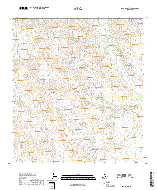
2024 Map of Healy A-6 SW
USGS Topo · Published 2024About this map
Denali National Park encompasses the northern edge of this high-elevation landscape, where the terrain is defined by a dense network of mountain streams and steep drainage basins. The hydrology is dominated by north-flowing waterways such as McCallie Creek and Ohio Creek, which are joined by smaller tributaries like Christy Creek. To the south, the headwaters of Shotgun Creek and Little Shotgun Creek carve through the land, while Partin Creek and Coal Creek drain the western reaches. This 2024 survey documents a wilderness area largely devoid of permanent roads or structures, reflecting a raw subarctic environment within the Matanuska-Susitna Borough. The map illustrates the complex braiding of glacial-fed streams and the topographic contours of the interior Alaska Range.
Find a feature on this map
12 named features on this map. Tap any name to fly to it.
Don’t see what you’re looking for? This feature index may not catch every label — zoom into the map to look around manually.
Map Details
Editions of this 2024 Healy A-6 SW Map
This is the sole edition of this map. No revisions or reprints were ever made.
Other maps of this area

1949 · Talkeetna Mountains D-6
USGS Topo · 1:63,360

1949 · Healy A-6
USGS Topo · 1:63,360

1950 · Talkeetna Mountains
USGS Topo · 1:250,000

1950 · Talkeetna
USGS Topo · 1:250,000

1951 · Talkeetna
USGS Topo · 1:250,000

1951 · Healy
USGS Topo · 1:250,000

1951 · Talkeetna Mountains D-6
USGS Topo · 1:63,360

1952 · Mount McKinley
USGS Topo · 1:250,000

1952 · Talkeetna Mountains D-6
USGS Topo · 1:63,360

1953 · Healy A-6
USGS Topo · 1:63,360