
1949 Map of Healy B-4
USGS Topo · Published 1958About this map
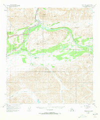
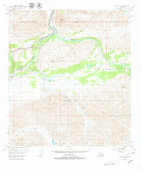
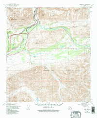
Cantwell and Windy anchor this late 1940s survey of the Interior, where the Alaska Railroad tracks follow the corridor of the Nenana River. This map shows the intersection of major transport routes at the edge of Mt McKinley National Park, including the early path of the Denali Highway and a Tractor Trail cutting through the terrain. The landscape is defined by the massive peaks of the Alaska Range and the high elevations of the Reindeer Hills.
Find a feature on this map
29 named features on this map. Tap any name to fly to it.
Don’t see what you’re looking for? This feature index may not catch every label — zoom into the map to look around manually.
Map Details
Editions of this 1949 Healy B-4 Map
4 editions found
Other maps of this area

1949 · Healy C-3
USGS Topo · 1:63,360

1950 · Healy C-4
USGS Topo · 1:63,360

1950 · Healy A-3
USGS Topo · 1:63,360

1950 · Healy B-3
USGS Topo · 1:63,360

1950 · Healy A-4
USGS Topo · 1:63,360

1950 · Healy A-5
USGS Topo · 1:63,360

1950 · Healy B-5
USGS Topo · 1:63,360

1951 · Healy
USGS Topo · 1:250,000

1951 · Healy B-5
USGS Topo · 1:63,360

1951 · Healy B-4
USGS Topo · 1:63,360