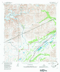
1950 Map of Healy B-5
USGS Topo · Published 1983About this map
The Alaska Railroad and the George Parks Highway bisect this interior Alaskan landscape, tracking through a high-altitude corridor dominated by glacial features and braided river systems. The survey documents the logistical infrastructure required to navigate this terrain, including a CAA Station, a Landing Strip, and dedicated water infrastructure such as a Water Tank and Tank near the rail line. The drainage of Cantwell Creek and Bull River defines the lower elevations, while the massive Cantwell Glacier descends from the high peaks of the Denali Wilderness to the northwest.
Find a feature on this map
32 named features on this map. Tap any name to fly to it.
Don’t see what you’re looking for? This feature index may not catch every label — zoom into the map to look around manually.
Map Details
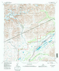
Editions of this 1950 Healy B-5 Map
3 editions found
Other maps of this area

1949 · Healy B-4
USGS Topo · 1:63,360

1949 · Healy A-6
USGS Topo · 1:63,360

1950 · Healy C-4
USGS Topo · 1:63,360

1950 · Healy A-4
USGS Topo · 1:63,360

1950 · Healy A-5
USGS Topo · 1:63,360

1950 · Healy B-5
USGS Topo · 1:63,360

1951 · Healy
USGS Topo · 1:250,000

1951 · Healy B-5
USGS Topo · 1:63,360

1951 · Healy B-4
USGS Topo · 1:63,360

1952 · Healy C-5
USGS Topo · 1:63,360