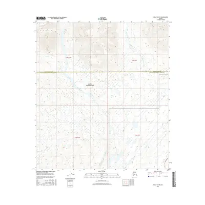
2016 Map of Healy B-5 SW
USGS Topo · Published 2016About this map
Denali National Park encompasses much of this interior Alaskan landscape, where the braided channels of the Bull River flow through the mountainous terrain of the Matanuska-Susitna Borough. This 2016 survey highlights the dramatic transition from the glaciated peaks and high valleys of the Alaska Range to the lower river basins. The southeastern corner provides a key point of human orientation with the passage of the Parks Highway, the primary artery connecting Anchorage and Fairbanks. As the river systems of Cantwell Creek and Tsaani Creek drain the surrounding slopes, the map illustrates the vast, uninhabited stretches characteristic of the region's protected wilderness, bounded by the jurisdictional line of the Denali Borough.
Find a feature on this map
11 named features on this map. Tap any name to fly to it.
Don’t see what you’re looking for? This feature index may not catch every label — zoom into the map to look around manually.
Map Details
Editions of this 2016 Healy B-5 SW Map
This is the sole edition of this map. No revisions or reprints were ever made.
Other maps of this area

1949 · Healy A-6
USGS Topo · 1:63,360

1950 · Healy A-5
USGS Topo · 1:63,360

1950 · Healy B-5
USGS Topo · 1:63,360

1951 · Healy
USGS Topo · 1:250,000

1951 · Healy B-5
USGS Topo · 1:63,360

1952 · Healy A-5
USGS Topo · 1:63,360

1953 · Healy A-6
USGS Topo · 1:63,360

1953 · Healy B-5
USGS Topo · 1:63,360

1954 · Healy B-6
USGS Topo · 1:63,360
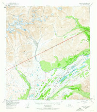
1956 · Healy B-5
USGS Topo · 1:63,360