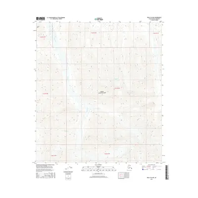
2016 Map of Healy B-6 NW
USGS Topo · Published 2016About this map
Denali National Park encompasses this entire interior Alaskan landscape, dominated by the wide, braided course of the Toklat River. The river bisects the quadrangle as it flows north through glacial valleys, fed by high-altitude features such as Polychrome Glacier in the east. The terrain is characterized by massive elevation changes, rising toward Divide Mtn in the northwest corner. This 2016 survey highlights the complex drainage patterns and ice-carved topography of the Alaska Range, providing a clear view of the wilderness before any significant human infrastructure or road networks. It is a pure topographical study of one of North America's most protected wilderness areas, emphasizing the relationship between active glaciers and the shifting riverbeds they create.
Find a feature on this map
11 named features on this map. Tap any name to fly to it.
Don’t see what you’re looking for? This feature index may not catch every label — zoom into the map to look around manually.
Map Details
Editions of this 2016 Healy B-6 NW Map
This is the sole edition of this map. No revisions or reprints were ever made.
Other maps of this area

1951 · Healy
USGS Topo · 1:250,000

1952 · Mount McKinley
USGS Topo · 1:250,000

1952 · Mount McKinley B-1
USGS Topo · 1:63,360

1952 · Mount McKinley C-1
USGS Topo · 1:63,360

1954 · Healy C-6
USGS Topo · 1:63,360

1954 · Healy B-6
USGS Topo · 1:63,360

1954 · Mount McKinley C-1
USGS Topo · 1:63,360

1954 · Mount McKinley B-1
USGS Topo · 1:63,360

1956 · Healy
USGS Topo · 1:250,000

1958 · Mount McKinley
USGS Topo · 1:250,000