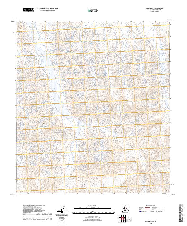
2024 Map of Healy B-6 NW
USGS Topo · Published 2024About this map
Denali Wilderness dominates the central portion of this 2024 landscape, representing a protected expanse of the high Alaskian interior. The Toklat River winds through the western and central sections, its braided channels typical of the glacial runoff systems found throughout the Alaska Range. This map documents a high-altitude wilderness area defined by significant relief and sharp elevation changes, where the absence of named settlements or transportation infrastructure highlights the preservation of this interior ecosystem. The topography is shaped by the immense scale of the Alaska Range, with steep ridgelines and glacial valleys that characterize the subarctic environment north of the continent's highest peaks.
Find a feature on this map
10 named features on this map. Tap any name to fly to it.
Don’t see what you’re looking for? This feature index may not catch every label — zoom into the map to look around manually.
Map Details
Editions of this 2024 Healy B-6 NW Map
This is the sole edition of this map. No revisions or reprints were ever made.
Other maps of this area

1951 · Healy
USGS Topo · 1:250,000

1952 · Mount McKinley
USGS Topo · 1:250,000

1952 · Mount McKinley B-1
USGS Topo · 1:63,360

1952 · Mount McKinley C-1
USGS Topo · 1:63,360

1954 · Healy C-6
USGS Topo · 1:63,360

1954 · Healy B-6
USGS Topo · 1:63,360

1954 · Mount McKinley C-1
USGS Topo · 1:63,360

1954 · Mount McKinley B-1
USGS Topo · 1:63,360

1956 · Healy
USGS Topo · 1:250,000

1958 · Mount McKinley
USGS Topo · 1:250,000