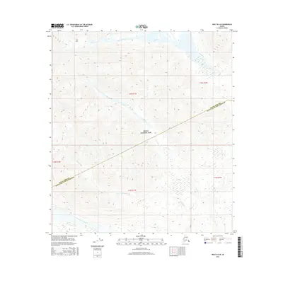
2016 Map of Healy B-6 SE
USGS Topo · Published 2016About this map
Denali National Park encompasses a significant portion of this interior Alaska landscape, where the high-altitude drainage systems of the Alaska Range define the topography. The map illustrates the convergence of several major alpine waterways, including the Bull River and the braided path of the West Fork Chulitna River. A prominent boundary line cuts through the terrain, marking the division between the Denali Borough and Matanuska-Susitna Borough. This survey captures the wilderness character of the region during a period of modern glacial and hydrological monitoring. Travelers and researchers can trace the natural route through Easy Pass, a notable low point amidst the surrounding peaks, while multiple tributaries like Costello Creek and Colorado Cr feed into the larger river systems that dominate the southern reaches of the quadrangle.
Find a feature on this map
14 named features on this map. Tap any name to fly to it.
Don’t see what you’re looking for? This feature index may not catch every label — zoom into the map to look around manually.
Map Details
Editions of this 2016 Healy B-6 SE Map
This is the sole edition of this map. No revisions or reprints were ever made.
Other maps of this area

1949 · Healy A-6
USGS Topo · 1:63,360

1950 · Healy A-5
USGS Topo · 1:63,360

1950 · Healy B-5
USGS Topo · 1:63,360

1951 · Healy
USGS Topo · 1:250,000

1951 · Healy B-5
USGS Topo · 1:63,360

1952 · Healy A-5
USGS Topo · 1:63,360

1953 · Healy A-6
USGS Topo · 1:63,360

1953 · Healy B-5
USGS Topo · 1:63,360

1954 · Healy B-6
USGS Topo · 1:63,360
1956 · Healy B-5
USGS Topo · 1:63,360